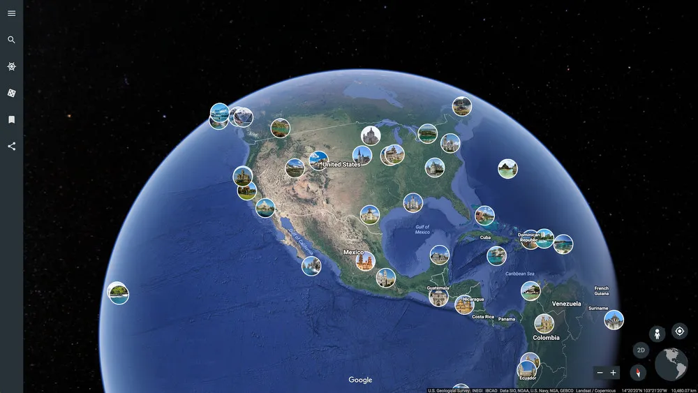
The 3D interactive online exploration platform Google Earth provides a pathway to endless learning adventures around the globe. For an overview of Google Earth and a breakdown of its unique features, check out How to Use Google Earth for Teaching.
Below, is a sample Google Earth lesson plan geared toward elementary and middle school that is focused on teaching geography. It is important to note that while geography is a natural fit for leveraging Google Earth, other content areas and Google Earth tips and tricks for teaching can be used.
Subject: Geography
Topic: Landforms
Grade Band: Elementary/Middle
Learning Objectives:
At the end of the lesson, students will be able to:
- Locate different types of landforms across the world
- Describe characteristics of landforms on different continents
Starter
To start the lesson, go to the Google Earth home page and make sure students can see your screen. For online classes, students should be within the LMS that you are using for a live virtual class, and for in-person learning, students can see your computer screen either on their individual devices or on a larger screen in the classroom. Type in the search window the type of landform you would like to show students. For elementary students, you may want to focus on a few simple landforms, such as a lake, hill, and desert. For upper elementary and middle school students, you can add to the list and also review mountains, oceans, and plains.
Guided Exploration
After you have shown students examples and described each landform, students will explore Google Earth by searching for landforms across the world. Have students choose any three continents to focus on, and discover one type of landform on each continent. For example, you could have elementary students start with locating a lake, hill, and desert in North America, Asia, and Africa, while you may want middle school students to also locate a lake, hill, desert, mountain, ocean, and plain in Europe, Australia, and South America in addition to North America, Asia, and Africa.
Using a comparison note sheet, students would fill in as they locate the different landforms. The comparison note sheet could be created on a Google Doc with columns in which students can enter the landform type, the continent location, and some of the characteristics (size, shape, color, and unique features). Once the student is on the specific landform in Google Earth, facts and characteristics about it will appear in the lower right-hand corner of the screen. You may also want to have additional columns for the specific name and country within the continent (e.g. “Mount Kilimanjaro“ and “Tanzania” instead of just “mountains”).
Extending the Learning
As students finish their landforms exploration lesson, you could have them explore the continent of Antarctica and discover additional landforms. You could also have students continue to pursue Google Earth and engage with the Games and Quizzes feature or take Guided Tour of one of the landforms or related areas that they explored during the lesson.
As an alternative, you may want to use the Guided Tour feature to get students acclimated and excited about Google Earth and introduce it at the beginning of the lesson.
Technical Tips
Google Earth has a variety of features that can assist students in navigating the virtual globe. It may be helpful to have a cheat sheet available for students that can be easily accessed during the lesson that reminds students how to zoom in, rotate, and tilt within Google Docs. It may also be helpful to create a screencast for students to view as needed that demonstrates how to use the search navigation feature.
Google Earth creates an exciting and immersive experience for students, and with traveling across the world being a difficult feat, they can at least see amazing sites virtually. Google Earth can be used as an interdisciplinary tool as well, particularly connecting social studies, world history and environmental science with geography.
